
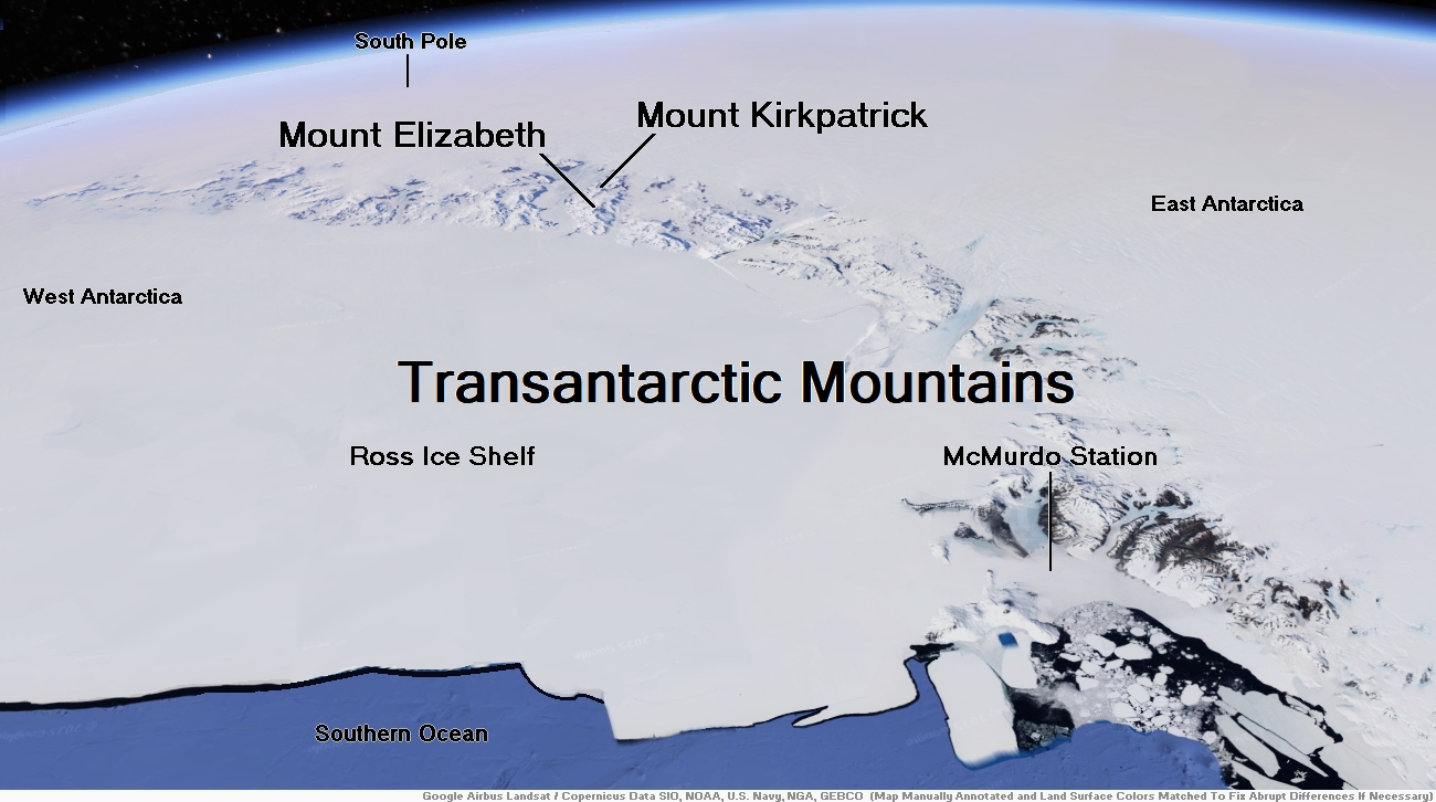
Map of Transantarctic Mountains


![]()
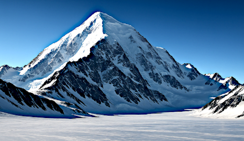
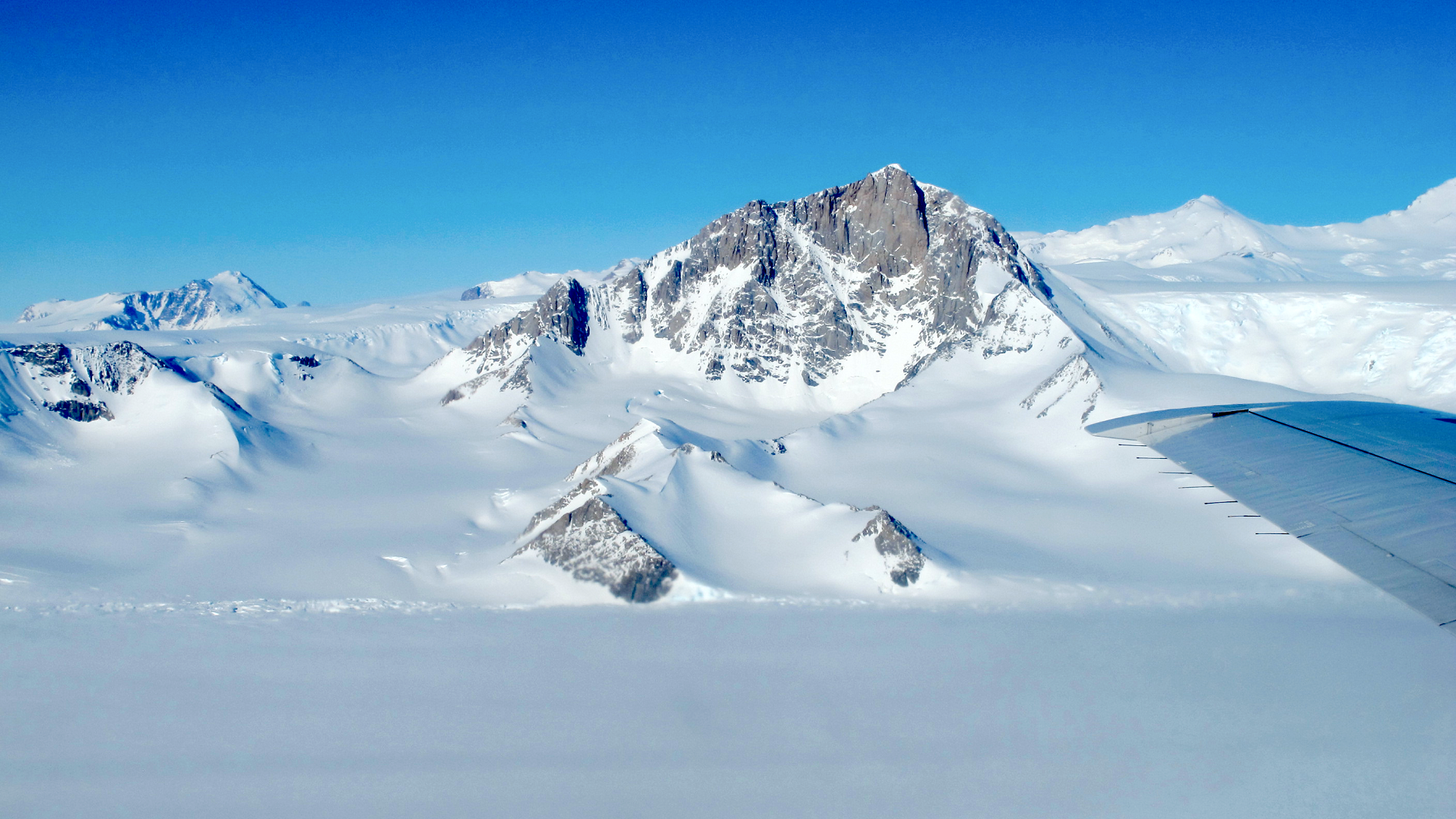
Mount Kirkpatrick (84°20′S 166°25′E) is a lofty, generally ice-free mountain in Queen Alexandra Range 5 nautical miles (9.3 km; 5.8 mi) west of Mount Dickerson. At 4,528 metres (14,856 ft) it is the highest point in the Queen Alexandra Range, Antarctica.[1]
Exploration and Name
Mount Kirkpatrick was discovered and named by the British Antarctic Expedition, 1907–1909. It was named for a Glasgow businessman, who was one of the original supporters of the expedition.[1]
Location
Mount Kirkpatrick is in the central Queen Alexandra Range to the south of Grindley Plateau, north of the Adams Mountains and northeast of the Marshall Mountains. Prebble Glacier forms on its west slopes and flows west to Lennox-King Glacier. Mount Dickerson is to its east and Decennial Peak to its south. Martin Ridge extends southwest from Decennial Peak to the head of Berwick Glacier.[2]
Fossil Site
Mount Kirkpatrick holds one of the most important fossil sites in Antarctica, the Hanson Formation. Because Antarctica used to be warmer and supported dense conifer and cycad forest, and because all the continents were fused into a giant supercontinent called Pangaea, many ancient Antarctic wildlife share relatives elsewhere in the world. Among these creatures are tritylodonts, herbivorous mammal-like reptiles that are prevalent elsewhere at the time. A crow-sized pterosaur has been identified. In addition to these finds, numerous dinosaur remains have been uncovered. Fossils of dinosaurs resembling Plateosaurus, Coelophysis, and Dilophosaurus were excavated. Mount Kirkpatrick holds the first dinosaur scientifically named on the continent: the large predatory Cryolophosaurus. In 2004, scientists have even found partial remains of a large sauropod plant-eating dinosaur.
Glacialisaurus hammeri, an herbivorous dinosaur thought to be around 25 feet (7.6 m) long and weighing perhaps 4-6 tons, was also identified from fossils on Mount Kirkpatrick in 2007, the only known site of Glacialisaurus hammeri.[3]
This article uses material from the Wikipedia article Mount Kirkpatrick, which is released under the Creative Commons Attribution-Share-Alike 4.0 International License (view authors).
 |

![]()
![]()
Mount Elizabeth (83°54′S 168°23′E) is a massive ice-free mountain, 4,480 metres (14,700 ft) high, standing 6 nautical miles (11 km; 6.9 mi) south of Mount Anne in the Queen Alexandra Range, Antarctica.[3]
Exploration and Name
Mount Elizabeth was discovered by the British Antarctic Expedition, 1907–09 (BrAE), and named for Elizabeth Dawson-Lambton, a supporter of the expedition.[3]
Location
Mount Elizabeth is in the northern part of the Queen Elizabeth Range, to the east of Mackellar Glacier, north of Alice Glacier and west of Beardmore Glacier. Sirohi Point is to the east and the Owen Hills are to the northeast. A line of peaks extends north from Mount Elizabeth including, from south to north, Mount Anne, Mount Bishop, Ahmadjian Peak, Mount Rotolante and Kessler Peak.[4]
Events
On 23 January 2013, C-GKBC (c/n:650), a Kenn Borek Air DHC-6 Twin Otter skiplane, with three Canadians on board, crashed onto Mount Elizabeth.[5][6] The Emergency Locator Transmitter (ELT) was detected on the same day.[7] The plane had been en route from the South Pole‘s Amundsen–Scott US station to Terra Nova Bay‘s Zucchelli Italian station, operating under the auspices of the Italian National Agency for New Technologies, Energy and Sustainable Economic Development (ENEA).[5][8]
The aircraft was found on 25 January 2013. It had impacted at the 4,000 metres (13,000 ft) level. The New Zealand helicopter rescue team which spotted the wreckage reported that the accident was not survivable.[6] Canada had jurisdiction in investigating the crash.[9] Recovery efforts were ended on 27 January, after having recovered the cockpit voice recorder (CVR), due to unsafe conditions.[10]
This article uses material from the Wikipedia article Mount Elizabeth (Antarctica), which is released under the Creative Commons Attribution-Share-Alike 4.0 International License (view authors).
 I | 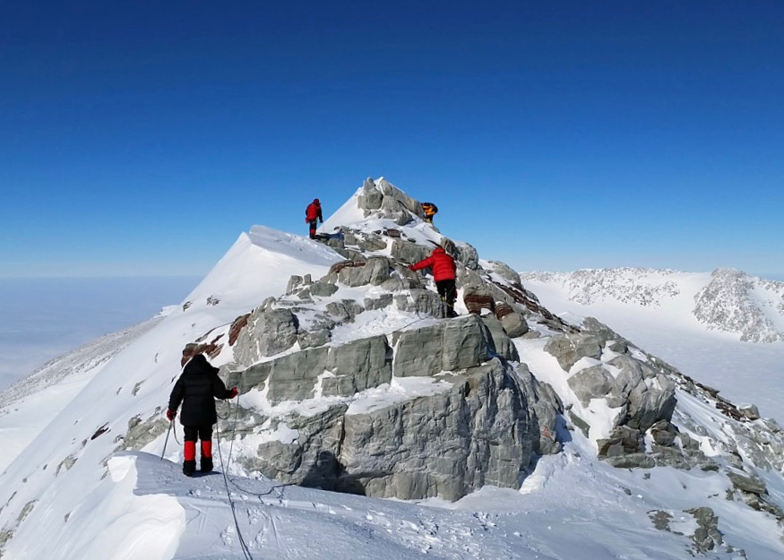 Explore Unbound |
![]()
![]()
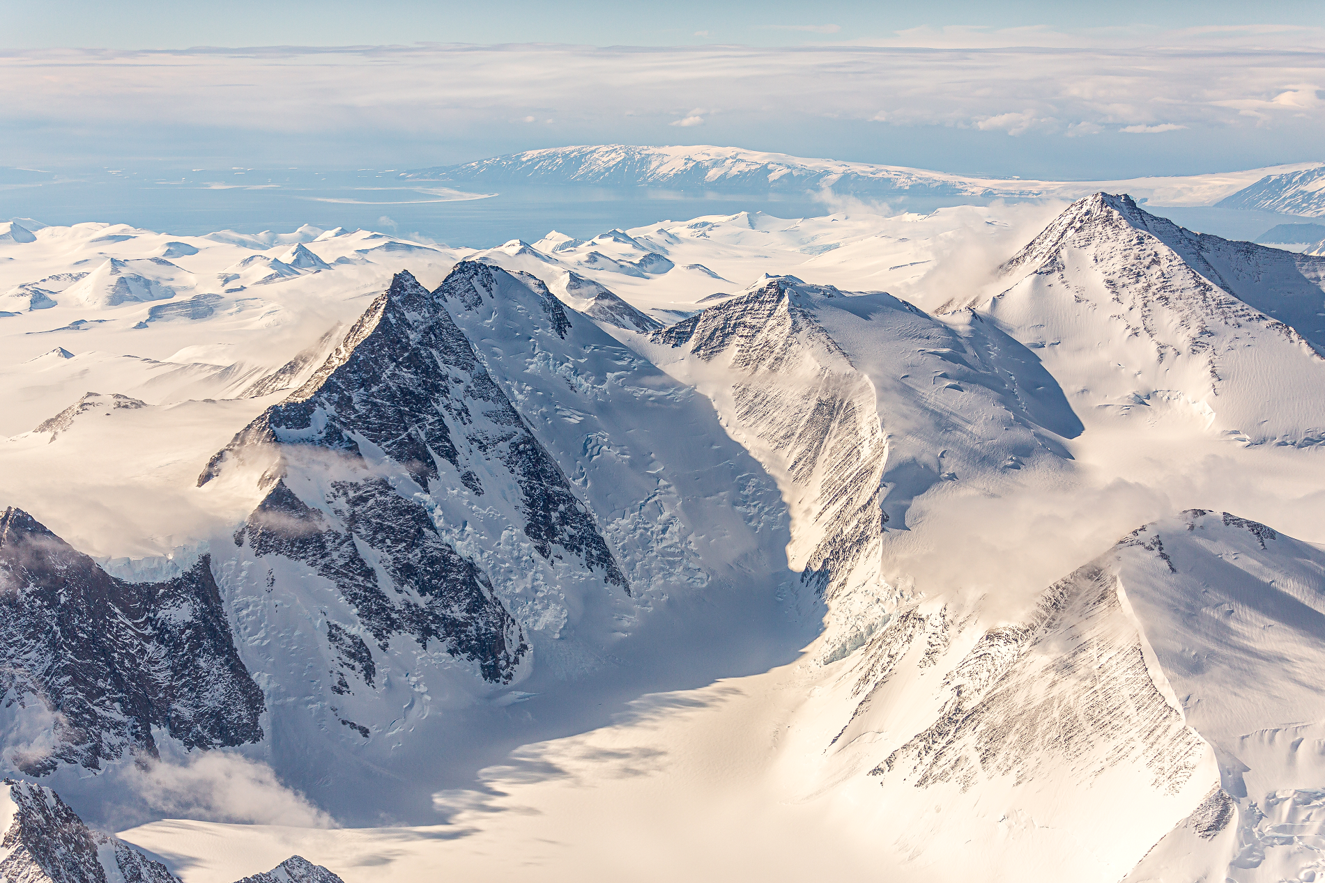
The Transantarctic Mountains (abbreviated TAM) comprise a mountain range of uplifted rock (primarily sedimentary) in Antarctica which extends, with some interruptions, across the continent from Cape Adare in northern Victoria Land to Coats Land. These mountains divide East Antarctica and West Antarctica. They include a number of separately named mountain groups, which are often again subdivided into smaller ranges.
The range was first sighted by James Clark Ross in 1841 at what was later named the Ross Ice Shelf in his honour. It was first crossed during the British National Antarctic Expedition of 1901-1904.
Geography
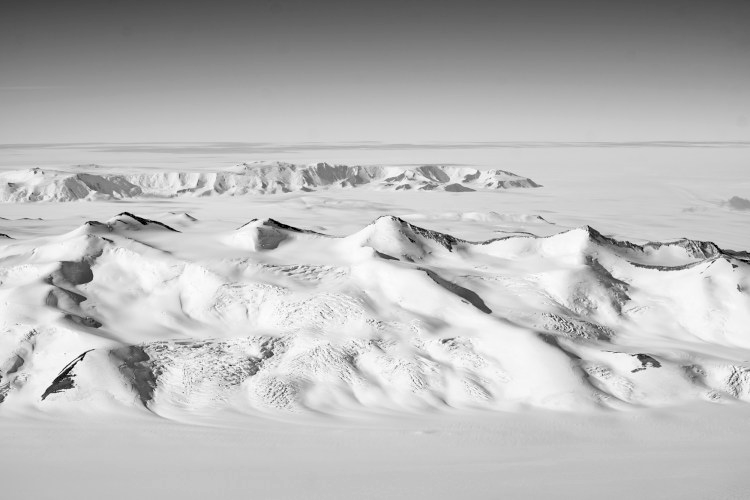
The mountain range stretches between the Ross Sea and the Weddell Sea, the entire width of Antarctica, hence the name. With a total length of about 3,500 km (2,000 mi), the Transantarctic Mountains are one of the longest mountain ranges on Earth. The Antarctandes are even longer, having in common with the Transantarctic Mountains the ranges from Cape Adare to the Queen Maud Mountains, but extending thence through the Whitmore Mountains and Ellsworth Mountains up the Antarctic Peninsula. The 100–300 km (60–200 mi) wide range forms the boundary between East Antarctica and West Antarctica. The East Antarctic Ice Sheet bounds the TAM along their entire length on the Eastern Hemisphere side, while the Western Hemisphere side of the range is bounded by the Ross Sea in Victoria Land from Cape Adare to McMurdo Sound, the Ross Ice Shelf from McMurdo Sound to near the Scott Glacier, and the West Antarctic Ice Sheet beyond.
The large summits and dry valleys of the TAM are some of the few places in Antarctica not covered by ice, the highest of which rise more than 4,500 metres (14,800 ft) above sea level. The McMurdo Dry Valleys lie near McMurdo Sound and represent a special Antarctic phenomenon: landscapes that are snow and ice-free due to the extremely limited precipitation and ablation of ice in the valleys. The highest mountain of the TAM is the 4,528 m (14,856 ft) high Mount Kirkpatrick in the Queen Alexandra Range.
Biology
Penguins, seals, and sea birds live along the Ross Sea coastline in Victoria Land, while life in the interior of the Transantarctic Range is limited to bacteria, lichens, algae, and fungi. Forests once covered Antarctica, including plentiful Wollemi pines and southern beeches.[1] However, with the gradual cooling associated with the break-up of Gondwana, these forests gradually disappeared.[1] It is believed that the last trees on the Antarctic continent were on Transantarctic Mountains.[1]
This article uses material from the Wikipedia article Transantarctic Mountains, which is released under the Creative Commons Attribution-Share-Alike 4.0 International License (view authors).
 Wirestock (iStock) | 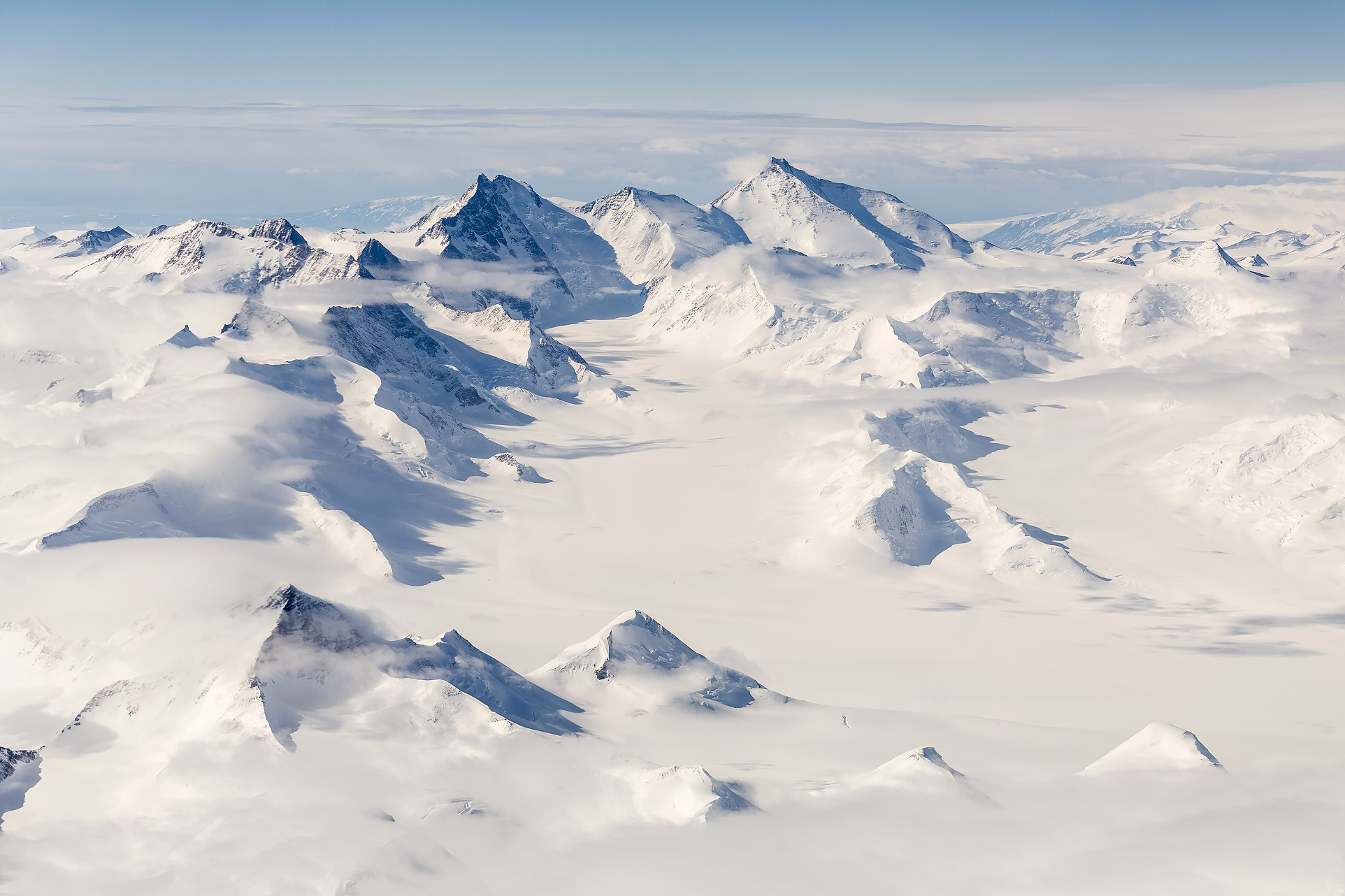 Matt Palmer (iStock) |
 Matt Palmer (iStock) | 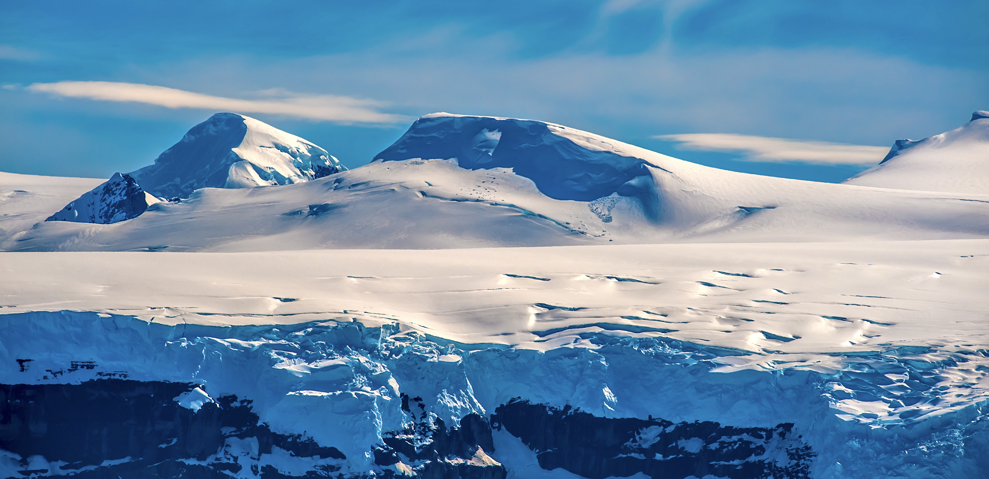 Mani Sethi (iStock) |
 NASA | 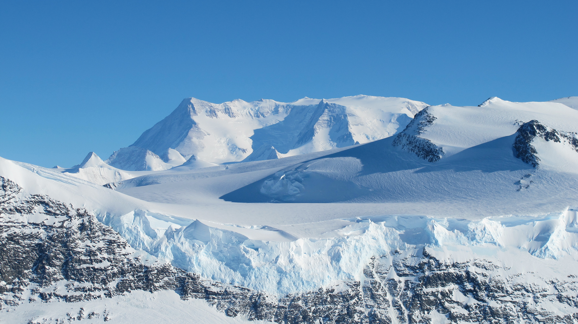 James Yungel (NASA) |
