
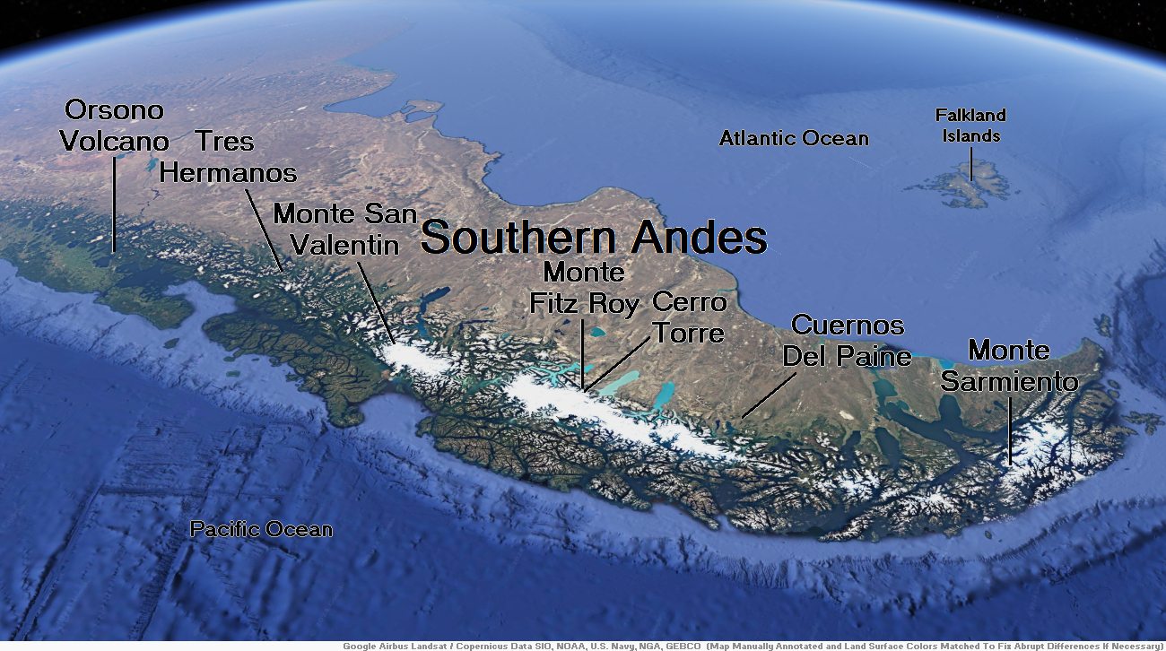
Map of Southern Andes


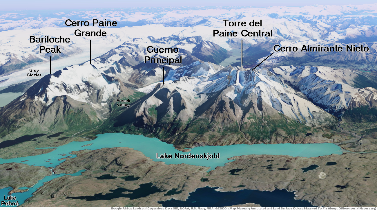
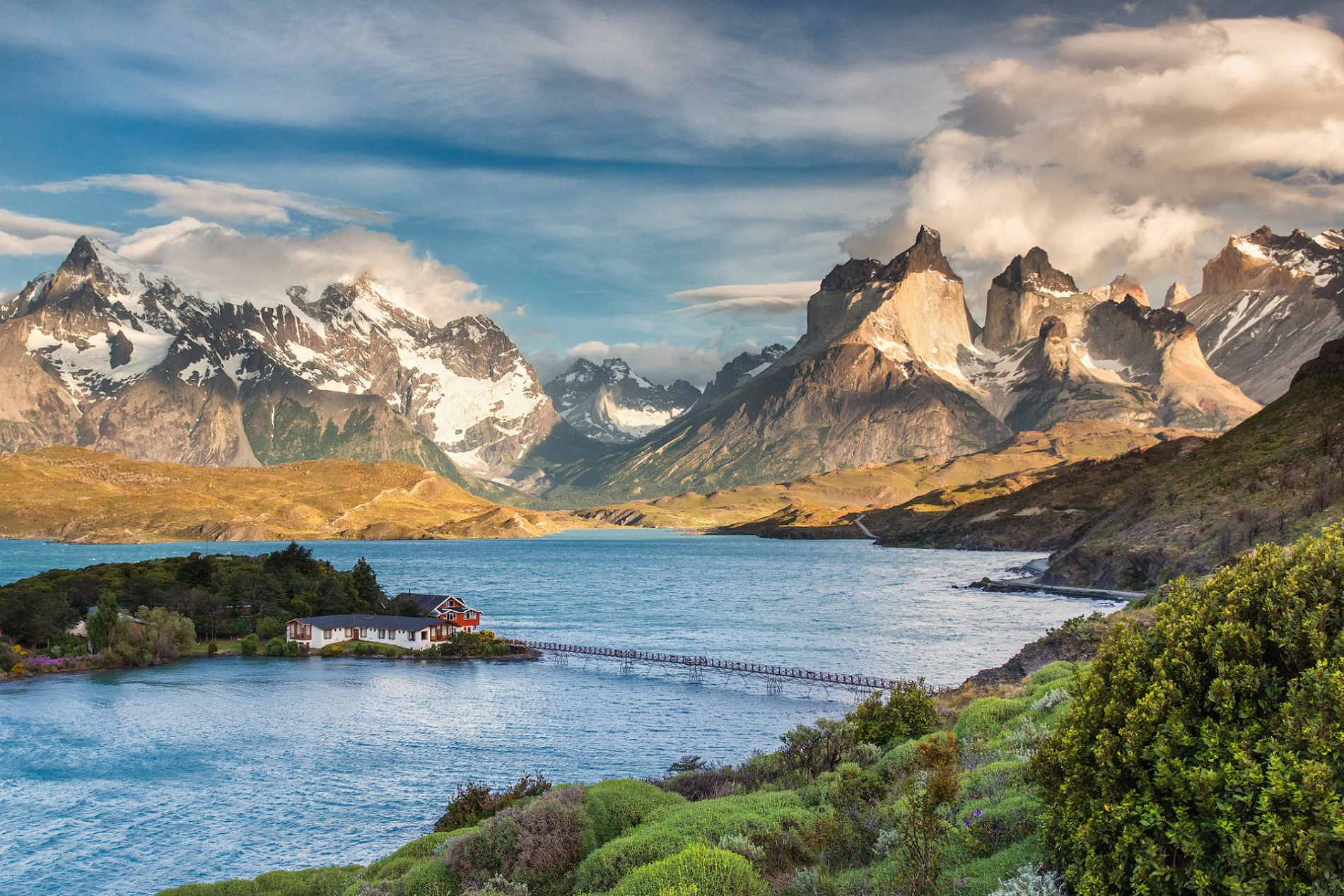
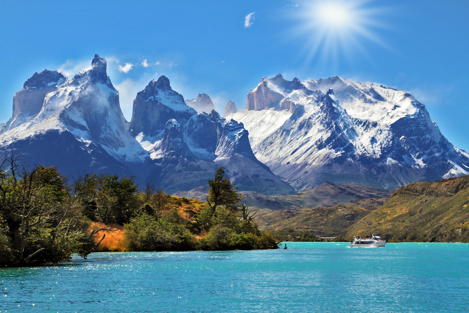
Cuernos Del Paine Region
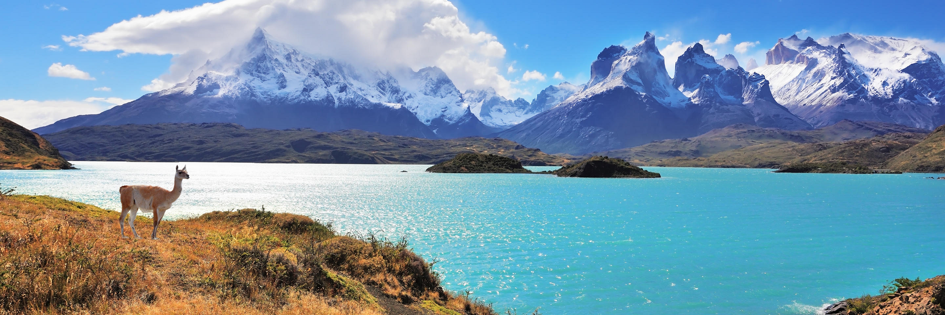
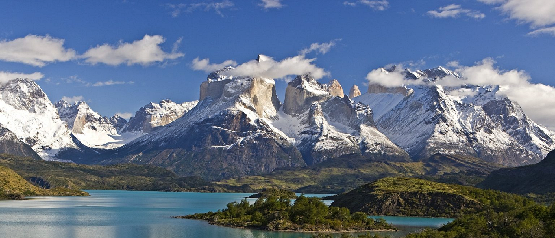
Cuernos Del Paine Panoramic

![]()
Cordillera Paine
The Cordillera Paine is a mountain group in Torres del Paine National Park in Chilean Patagonia. The cordillera is located 280 km (170 mi) north of Punta Arenas, and about 1,960 km (1,220 mi) south of the Chilean capital Santiago. It belongs to the Commune of Torres del Paine in Última Esperanza Province of Magallanes and Antártica Chilena Region. No accurate surveys have been published, and published elevations have been claimed to be seriously inflated, so most of the elevations given on this page are approximate.[1] Paine means “blue” in the native Tehuelche (Aonikenk) language and is pronounced PIE-nay.[2]
Peaks
The highest summit of the range is Cerro Paine Grande. For a long time its elevation was claimed to be 3,050 or 3,251 m (10,007 or 10,666 ft), but in August 2011 it was ascended for the third time, measured using GPS and found to be 2,884 m (9,462 ft).[3]
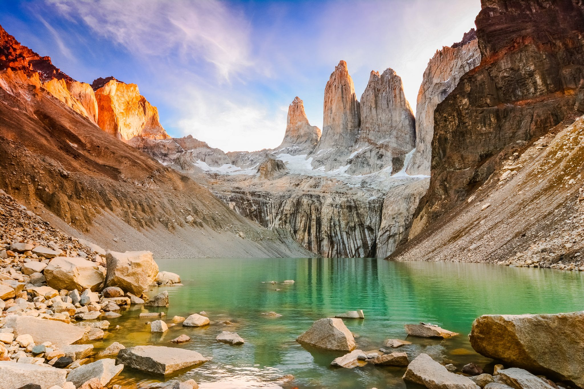
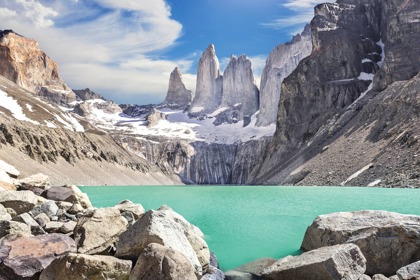
The three Towers of Paine (Spanish: Torres del Paine) form the centrepiece of Parque Nacional Torres del Paine. The South Tower of Paine (about 2,500 m (8,200 ft) in elevation,[1] is now thought to be the highest of the three, although this has not been definitely established. It was first climbed in 1963 by Armando Aste.[4] The Central Tower (about 2,460 m (8,070 ft)[1] in elevation) was first climbed in 1963 by Chris Bonington and Don Whillans. In 2017, three Belgian climbers, Nico Favresse, Siebe Vanhee and Sean Villanueva O’Driscoll, made the first free ascent up the rock face, which is about 1,200 m (3,900 ft).[5] The North Tower (about 2,260 m (7,410 ft) in elevation) was first climbed in 1958 by Guido Monzino.[6] Other summits include the Cuerno Principal, about 2,100 m (6,900 ft) in elevation,[1] and Cerro Paine Chico, which is usually quoted at about 2,650 m (8,690 ft).[1]
Geology
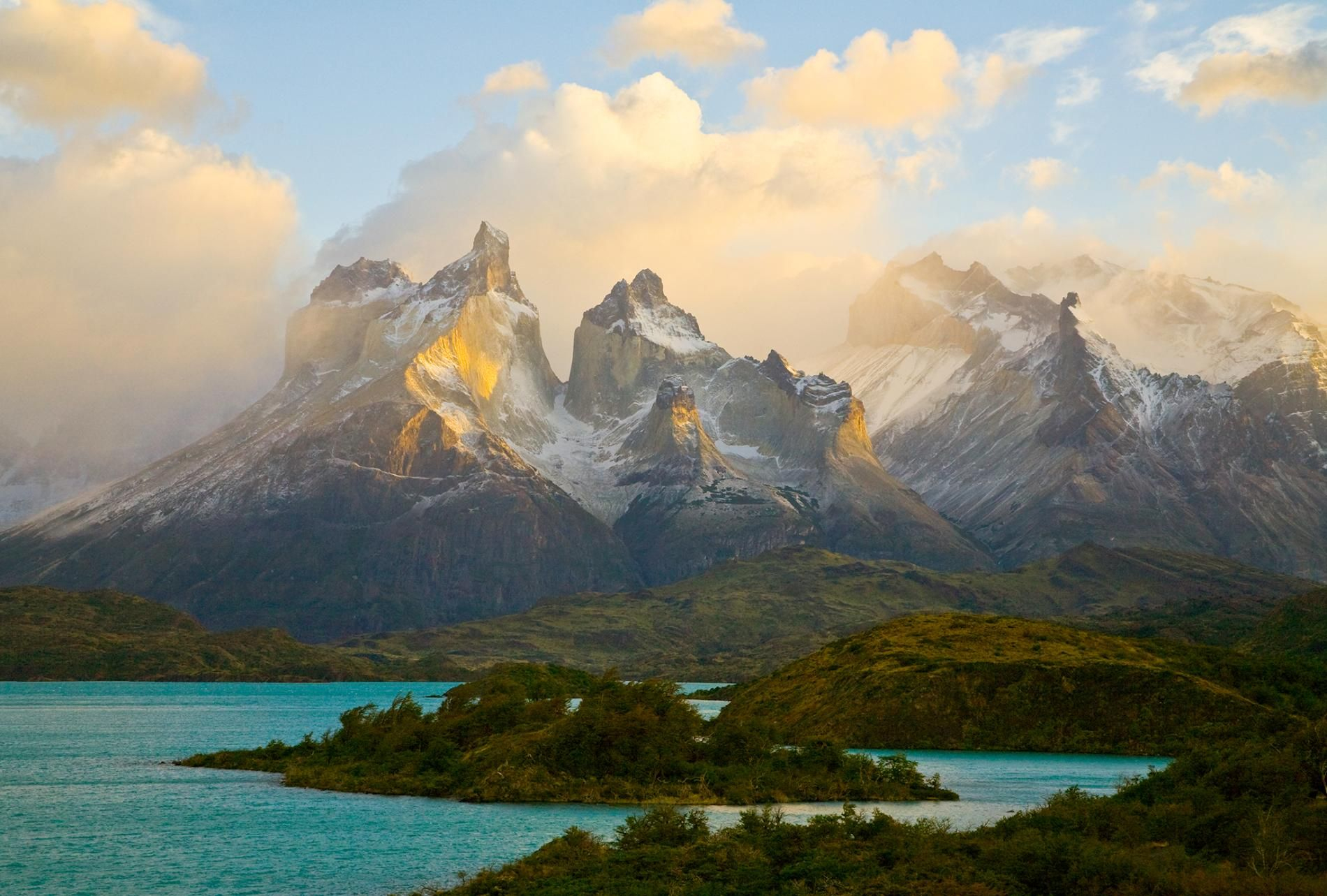
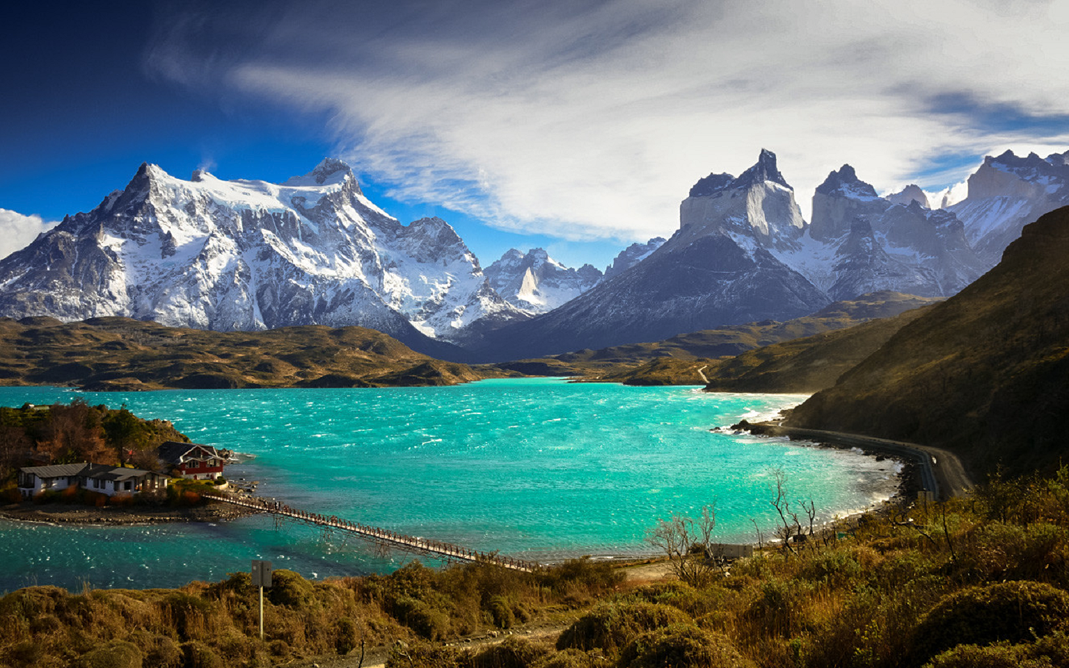
The range is made up of a yellowish granite underlain by grey gabbro-diorite laccolith and the sedimentary rocks it intrudes, deeply eroded by glaciers. The steep, light colored faces are eroded from the tougher, vertically jointed granitic rocks, while the foothills and dark cap rocks are the sedimentary country rock, in this case flysch deposited in the Cretaceous and later folded.[7]
This article uses material from the Wikipedia article Cordillera Paine, which is released under the Creative Commons Attribution-Share-Alike 4.0 International License (view authors).
 |  |
 |  |
 |  |
 |  |
